-
Title
-
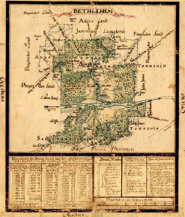
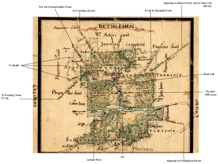
Topographic map of Bethlehem, Pennsylvania, and surrounding tracts
-
Creator
-
Reuter, Philip Christian Gottlieb, 1717–1777
-
translator
-
Schwarz, Ralph
-
Publisher
-
Bethlehem Digital History Project
-
Date
-
1758
-
Type
-
Still image
-
Format
-
image/jpg, 11 1/2" x 9 7/8" (292 mm x 250 mm)
-
Description
-
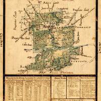
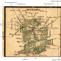
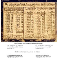
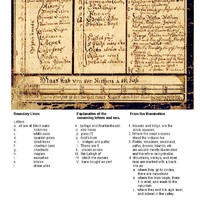
Cartographic material, made with watercolor and ink on paper; backed on linen. Topographical depiction of Bethlehem, Pennsylvania and surrounding tracts.
This map is annotated in German. Included are the lands of Nain, the proprietors, William Allen, Jeremias Langhorn, Burnside, Benezet, John Jones, Nic. Küntz, Nic. Tolle, Weigand, and others.
-
Subject
-
Bethlehem (Pa.)
Topographic maps--1750-1760
Maps
-
Identifier
-
f.224.2
-
Place
-
Bethlehem, Pennsylvania
-
Language
-
German
-
Extent
-
1 sheet
-
Rights Holder
-
Moravian Archives, Bethlehem, Pennsylvania