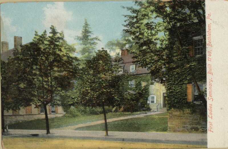
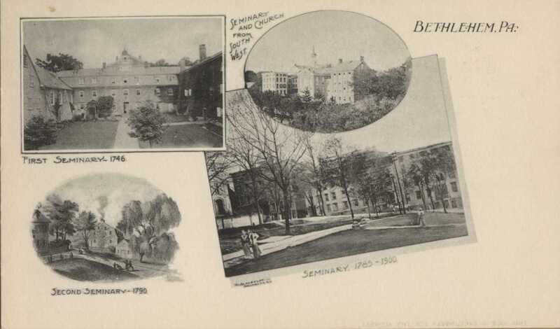
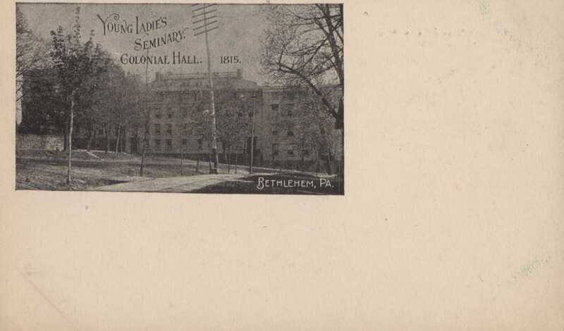
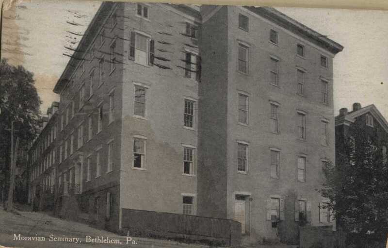
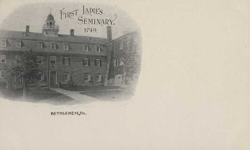
Postcard features pictures of the Bell House (1st Seminary), Willow Castle (2nd Seminary), and Brethren's House (aka Colonial Hall)/West Hall/South Hall.
Typed Manuscript titled, "Old Waterworks Archaeological Project, Bethlehem, Pennsylvania, 1964" by Vincent P. Foley. Details a Historic Bethlehem, Inc. project lead by Mr. Foley and 6 University of Pennsylvania Graduate Students to excavate the site of the old Waterworks site in Bethlehem, over the course of six weeks.
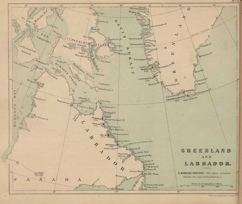
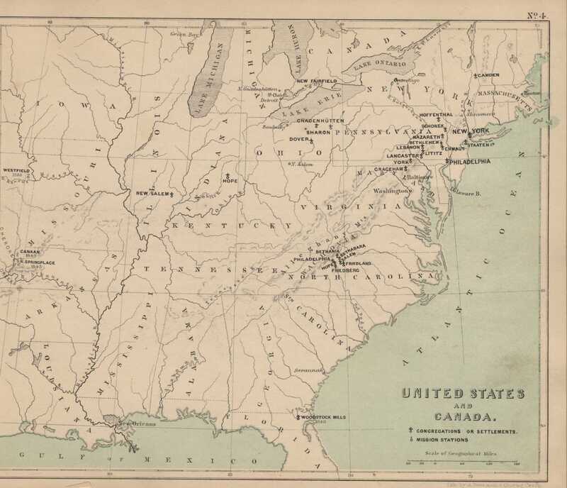
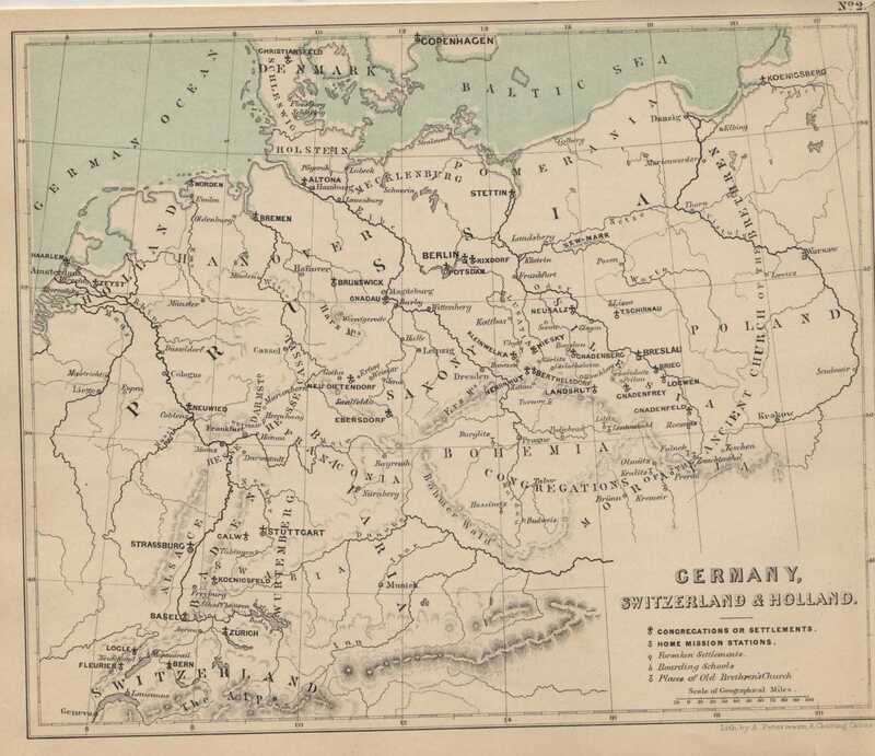
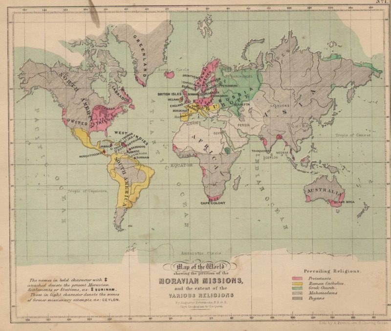
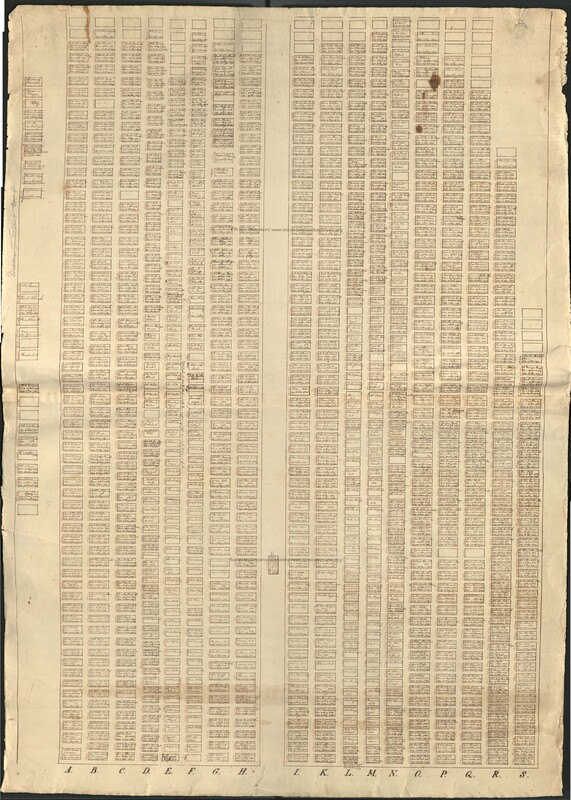
Settlements and Congregations of the Moravians in the United States of North America
N.B.—The years denote the time of establishment as congregations,
I.—Pennsylvania
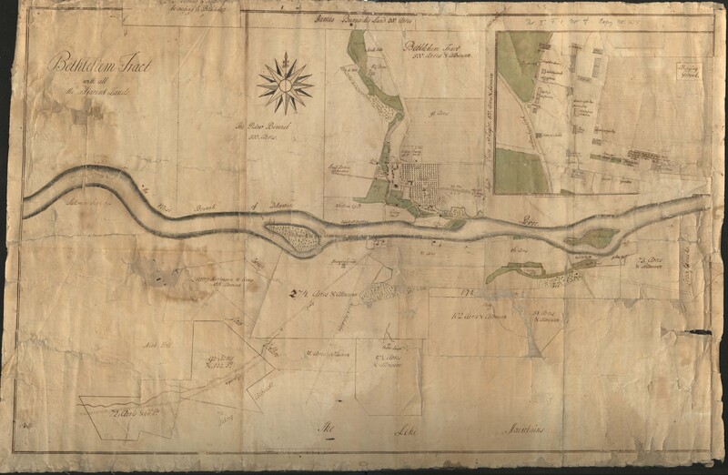
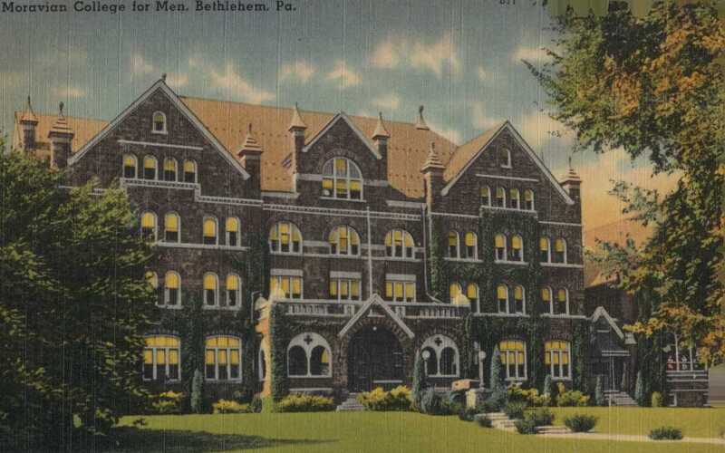
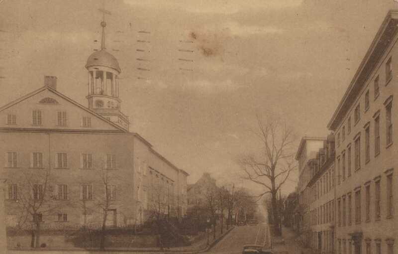
1. Bethlehem; 1742; County Northampton
2. Nazareth; 1744; do.
3. Schoeneck; 1762; do.
4. Emmaus; 1847; do.
5. Hoffenthal; 1837; do.
6. Philadelphia; 1743; County Philadelphia
7. Lancaster; 1750; County Lancaster
8. Lititz; 1756; do.
9. York; 1755; County York
10. Lebanon; 1847. County Lebanon
11. New York; 1748; County
II.—New York
12. Staten Island; 1763; County Richmond
13. Camben Valley; 1834; County Washington
III.—Maryland
14. Graceham; 1758; County Frederick
IV.—Ohio
15. Gnadenhuetten; 1799; County Tuscarawas
16. Sharon; 1817; do.
17. Canal Dover; 1843; do.
V.—Indiana
18. Hope; 1830; County Bartholomew
19. Enon; 1830; do.
VI.—North Carolina
20. Salem; 1766; County Forsythe
21. Bethbara; 1753; do.
22. New Philadelphia; 1846; do.
23. Bethania; 1759; do.
24. Friedland; 1770; do.
25. Friedberg; 1770; do.
26. Hope; 1780; do.
VII.—Virginia
27. Mount Bethel; 1851
VIII.—Illinois
28. New Salem; 1844; County Edwards
The 19 first-mentioned congregations are under the superintendance of a directing body, residing at
Bethlehem, Pensylvania; the others are under a similar body, resident at Salem, in North Carolina. Both are subordinate to the supreme Board in Germany.
The establishments for the education of youth in the above mentioned congregations are at Nazareth Hall, Bethlehem, Lititz and Salem.
The Home Missionary stations are in Philadelphia, Greenbay, Surgeon-bay, on Lake Michigan, among the Norwegians, New York, Olney, and Richland.