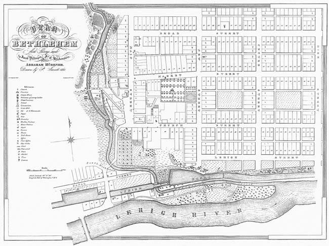
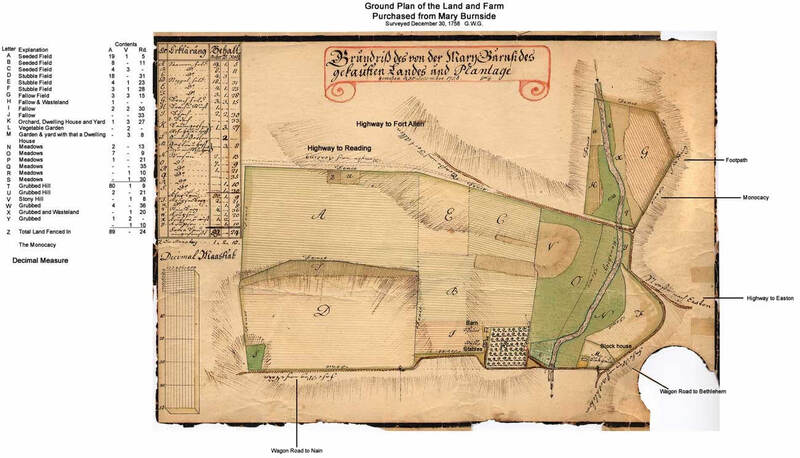
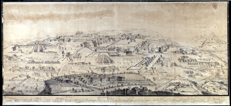
Plan of the farmlands on the west side of Bethlehem, north of the Lehigh, west of the Monocacy as drawn by Georg Wenzeslaus Golkowsky in 1786. Ink and watercolor on paper. Scale: 1 inch to twenty perches.
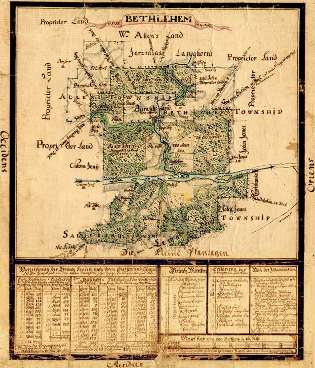
Cartographic material, made with watercolor and ink on paper; backed on linen. Topographical depiction of Bethlehem, Pennsylvania and surrounding tracts.
This map is annotated in German. Included are the lands of Nain, the proprietors, William Allen, Jeremias Langhorn, Burnside, Benezet, John Jones, Nic. Küntz, Nic. Tolle, Weigand, and others.
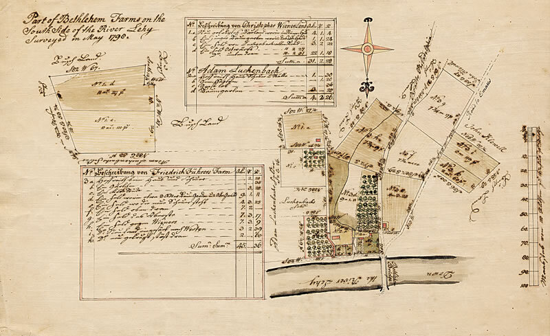
Survey map of the farms south of the Lehigh River by Bethlehem, Pennsylvania, created in 1798. Ink and watercolor on paper linen backed. Scale: 1 inch to twenty seven and a half Ruthen.
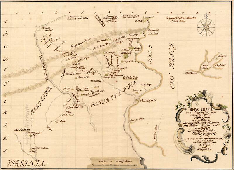
Cartographic material of Pennsylvania, northern Maryland and New Jersey, constructed with ink and watercolor on linen backed paper, and created c.1750. Scale is 1 inch to twenty english miles.